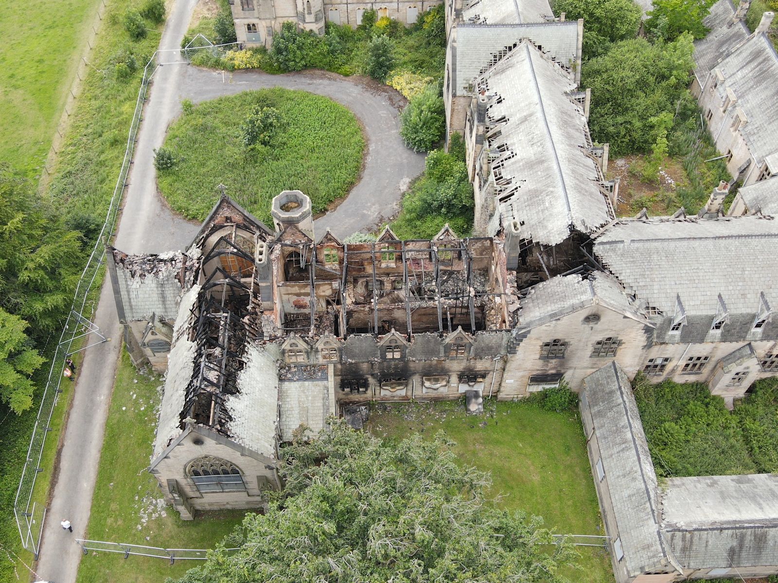
Aerial drone survey, Ushaw College
AERIAL SURVEY · USHAW COLLEGE

Creator

CAPTURE

A design should start from the building that exists — not the drawing that was filed. Drones, LiDAR, photogrammetry and measured surveys that turn real sites into usable engineering information.

SCAN-TO-DESIGN

From site to signed-off design

{{ s.n }}
{{ s.name }}

{{ s.text }}

What we capture

{{ s.name }}
{{ s.tag }}
BOOK A SURVEY →
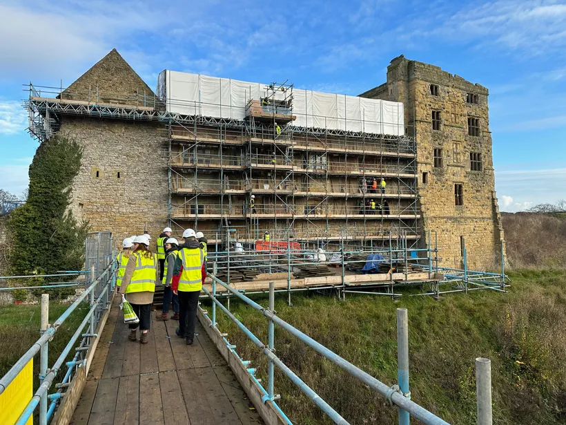
Survey team on site, Helmsley Castle
HELMSLEY CASTLE · SITE CAPTURE